
Jever topographic map
Interactive map
Click on the map to display elevation.
About this map
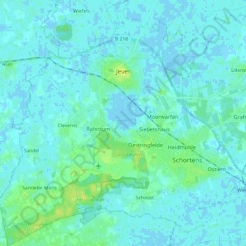
Name: Jever topographic map, elevation, terrain.
Location: Jever, Landkreis Friesland, Lower Saxony, 26441, Germany (53.50094 7.81521 53.60284 7.95296)
Average elevation: 3 m
Minimum elevation: -4 m
Maximum elevation: 13 m
Other topographic maps
Click on a map to view its topography, its elevation and its terrain.
Bockhorn
Germany > Lower Saxony > Landkreis Friesland
Bockhorn, Landkreis Friesland, Lower Saxony, 26345, Germany
Average elevation: 7 m