
Sarolay topographic map
Interactive map
Click on the map to display elevation.
About this map
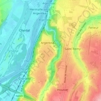
Name: Sarolay topographic map, elevation, terrain.
Location: Sarolay, Argenteau, Visé, Liège, Wallonie, 4600, Belgique (50.67514 5.66700 50.71514 5.70700)
Average elevation: 110 m
Minimum elevation: 53 m
Maximum elevation: 191 m