
Mount Morgan topographic map
Interactive map
Click on the map to display elevation.
About this map
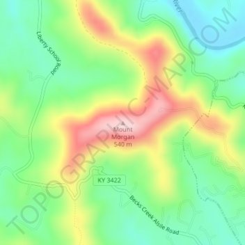
Name: Mount Morgan topographic map, elevation, terrain.
Location: Mount Morgan, Whitley County, Kentucky, 40769, USA (36.74392 -84.19471 36.74402 -84.19461)
Average elevation: 374 m
Minimum elevation: 274 m
Maximum elevation: 530 m