
Shawnee Hills topographic map
Interactive map
Click on the map to display elevation.
About this map
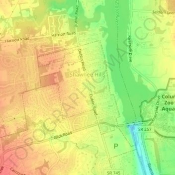
Name: Shawnee Hills topographic map, elevation, terrain.
Location: Shawnee Hills, Delaware County, Ohio, United States (40.15241 -83.14507 40.16693 -83.12833)
Average elevation: 271 m
Minimum elevation: 237 m
Maximum elevation: 292 m