
Tanjung Mulia topographic map
Interactive map
Click on the map to display elevation.
About this map
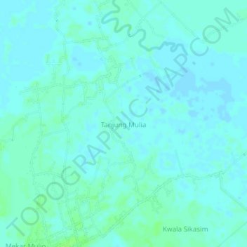
Name: Tanjung Mulia topographic map, elevation, terrain.
Location: Tanjung Mulia, Batu Bara, North Sumatra, Indonesia (3.12805 99.57376 3.16805 99.61376)
Average elevation: 3 m
Minimum elevation: -1 m
Maximum elevation: 8 m