
Brandilanes topographic map
Interactive map
Click on the map to display elevation.
About this map
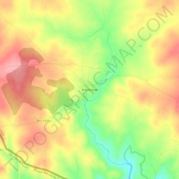
Name: Brandilanes topographic map, elevation, terrain.
Location: Brandilanes, Zamora, Castilla y León, 49513, España (41.60022 -6.23085 41.64022 -6.19085)
Average elevation: 773 m
Minimum elevation: 705 m
Maximum elevation: 825 m