
Pontones topographic map
Interactive map
Click on the map to display elevation.
About this map
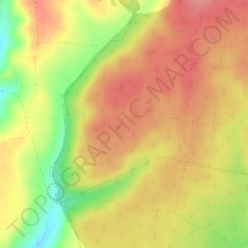
Name: Pontones topographic map, elevation, terrain.
Location: Pontones, Mantinos, Palencia, Castilla y León, España (42.73649 -4.90473 42.75649 -4.88473)
Average elevation: 1,153 m
Minimum elevation: 1,101 m
Maximum elevation: 1,183 m