
Kolɨ topographic map
Interactive map
Click on the map to display elevation.
About this map
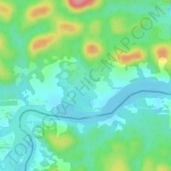
Name: Kolɨ topographic map, elevation, terrain.
Location: Kolɨ, Camopi, Cayenne, French Guiana, 97330, France (3.17072 -52.32225 3.18071 -52.31961)
Average elevation: 80 m
Minimum elevation: 45 m
Maximum elevation: 157 m