
Castejón de Alarba topographic map
Interactive map
Click on the map to display elevation.
About this map
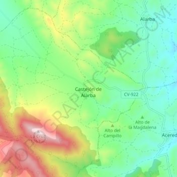
Name: Castejón de Alarba topographic map, elevation, terrain.
Location: Castejón de Alarba, Zaragoza, Aragón, España (41.16036 -1.68370 41.20786 -1.61461)
Average elevation: 940 m
Minimum elevation: 783 m
Maximum elevation: 1,255 m