
Duratón topographic map
Interactive map
Click on the map to display elevation.
About this map
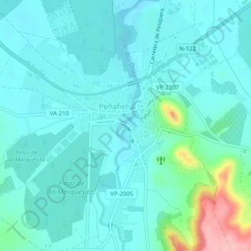
Name: Duratón topographic map, elevation, terrain.
Location: Duratón, Peñafiel, Valladolid, Castilla y León, 47300, España (41.59502 -4.12109 41.59588 -4.12102)
Average elevation: 769 m
Minimum elevation: 744 m
Maximum elevation: 889 m
Other topographic maps
Click on a map to view its topography, its elevation and its terrain.
Castillo de Peñafiel
España > Castilla y León > Peñafiel
Castillo de Peñafiel, Calle Subida al Castillo, Peñafiel, Valladolid, Castilla y León, 47300, España
Average elevation: 771 m