
Huaral topographic map
Interactive map
Click on the map to display elevation.
About this map
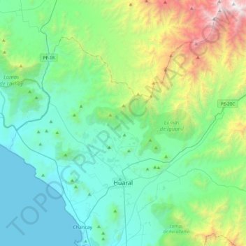
Name: Huaral topographic map, elevation, terrain.
Location: Huaral, Province of Huaral, Lima, Peru (-11.56355 -77.33299 -11.24546 -76.95181)
Average elevation: 618 m
Minimum elevation: -1 m
Maximum elevation: 2,870 m