
Kenmuir topographic map
Interactive map
Click on the map to display elevation.
About this map
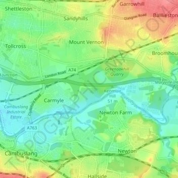
Name: Kenmuir topographic map, elevation, terrain.
Location: Kenmuir, Glasgow City, Scotland, G32 8XY, United Kingdom (55.81355 -4.16142 55.85355 -4.12142)
Average elevation: 33 m
Minimum elevation: 7 m
Maximum elevation: 77 m