
Lenoir City topographic map
Interactive map
Click on the map to display elevation.
About this map
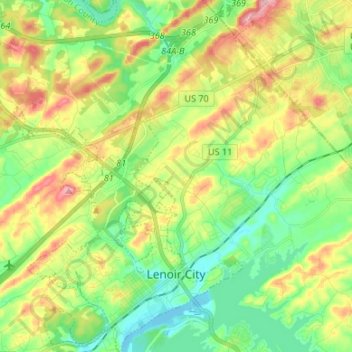
Name: Lenoir City topographic map, elevation, terrain.
Location: Lenoir City, Loudon County, Tennessee, 37771, USA (35.77322 -84.33374 35.88149 -84.23077)
Average elevation: 281 m
Minimum elevation: 228 m
Maximum elevation: 366 m