
El Cordón topographic map
Interactive map
Click on the map to display elevation.
About this map
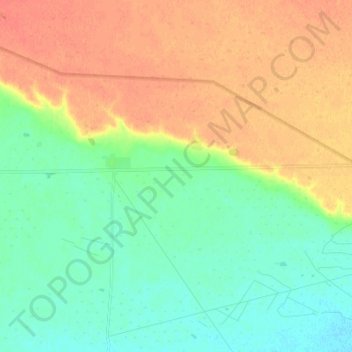
Name: El Cordón topographic map, elevation, terrain.
Location: El Cordón, Deseado, SC, San Jorge Gulf (-46.71070 -67.98161 -46.62016 -67.85273)
Average elevation: 301 m
Minimum elevation: 283 m
Maximum elevation: 323 m
Other topographic maps
Click on a map to view its topography, its elevation and its terrain.