
San Lázaro topographic map
Interactive map
Click on the map to display elevation.
About this map
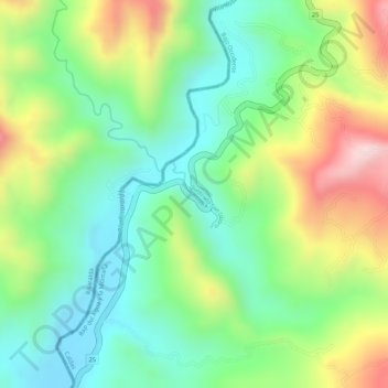
Name: San Lázaro topographic map, elevation, terrain.
Location: San Lázaro, Anserma, Bajo Occidente, Caldas, Colombia (5.16962 -75.81864 5.17431 -75.81553)
Average elevation: 1,172 m
Minimum elevation: 1,035 m
Maximum elevation: 1,384 m
Other topographic maps
Click on a map to view its topography, its elevation and its terrain.