
Mweka Camp topographic map
Interactive map
Click on the map to display elevation.
About this map
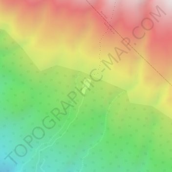
Name: Mweka Camp topographic map, elevation, terrain.
Location: Mweka Camp, Moshi, Hai, Kilimanjaro, Northern Zone, Tanzania (-3.15820 37.36634 -3.15569 37.36785)
Average elevation: 3,084 m
Minimum elevation: 2,643 m
Maximum elevation: 3,521 m
Other topographic maps
Click on a map to view its topography, its elevation and its terrain.
Shira
Tanzania > Kilimanjaro > Moshi
Shira, Moshi, Hai, Kilimanjaro, Northern Zone, Tanzania
Average elevation: 3,614 m
Barranco Camp
Tanzania > Kilimanjaro > Moshi
Barranco Camp, Moshi, Hai, Kilimanjaro, Northern Zone, Tanzania
Average elevation: 4,091 m