
Roturas topographic map
Interactive map
Click on the map to display elevation.
About this map
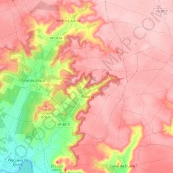
Name: Roturas topographic map, elevation, terrain.
Location: Roturas, Valladolid, Castilla y León, España (41.65107 -4.14792 41.69347 -4.05430)
Average elevation: 857 m
Minimum elevation: 735 m
Maximum elevation: 913 m