
Thorrur topographic map
Interactive map
Click on the map to display elevation.
About this map
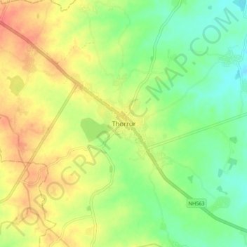
Name: Thorrur topographic map, elevation, terrain.
Location: Thorrur, Thorrur mandal, Mahabubabad, Telangana, 506163, India (17.54300 79.61895 17.62300 79.69895)
Average elevation: 231 m
Minimum elevation: 206 m
Maximum elevation: 258 m