
Anjeong-ri topographic map
Interactive map
Click on the map to display elevation.
About this map
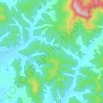
Name: Anjeong-ri topographic map, elevation, terrain.
Location: Anjeong-ri, Uiseong-gun, North Gyeongsang, South Korea (36.34895 128.47647 36.38895 128.51647)
Average elevation: 123 m
Minimum elevation: 49 m
Maximum elevation: 370 m