
Pinhanços topographic map
Interactive map
Click on the map to display elevation.
About this map
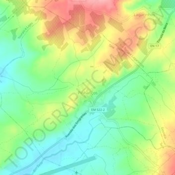
Name: Pinhanços topographic map, elevation, terrain.
Location: Pinhanços, Seia, Guarda, Serra da Estrela, Centro, Portugal (40.45354 -7.71051 40.48659 -7.66254)
Average elevation: 475 m
Minimum elevation: 427 m
Maximum elevation: 543 m