
Rax topographic map
Interactive map
Click on the map to display elevation.
About this map
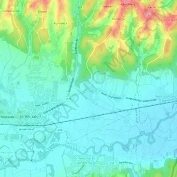
Name: Rax topographic map, elevation, terrain.
Location: Rax, Jennersdorf, Burgenland, 8380, Austria (46.92335 16.14040 46.96335 16.18040)
Average elevation: 261 m
Minimum elevation: 229 m
Maximum elevation: 355 m