
Dhabeji topographic map
Interactive map
Click on the map to display elevation.
About this map
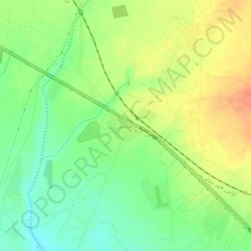
Name: Dhabeji topographic map, elevation, terrain.
Location: Dhabeji, Karāchi District, Sindh, Pakistan (24.79161 67.47914 24.83161 67.51914)
Average elevation: 33 m
Minimum elevation: 9 m
Maximum elevation: 58 m