
Electric topographic map
Interactive map
Click on the map to display elevation.
About this map
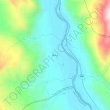
Name: Electric topographic map, elevation, terrain.
Location: Electric, Park County, Montana, 59030, United States (45.05855 -110.80188 45.09855 -110.76188)
Average elevation: 1,776 m
Minimum elevation: 1,552 m
Maximum elevation: 2,370 m