
Forset topographic map
Interactive map
Click on the map to display elevation.
About this map
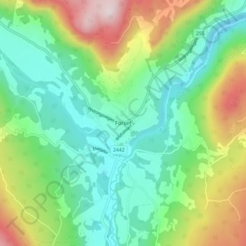
Name: Forset topographic map, elevation, terrain.
Location: Forset, Gausdal, Oppland, Norway (61.18208 10.12422 61.22208 10.16422)
Average elevation: 438 m
Minimum elevation: 274 m
Maximum elevation: 787 m