
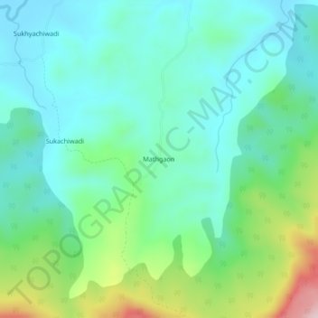
Mathgaon topographic map
Interactive map
Click on the map to display elevation.
About this map
Name: Mathgaon topographic map, elevation, terrain.
Location: Mathgaon, Gargoti, Kolhapur, Maharashtra, India (16.10747 73.96894 16.14747 74.00894)
Average elevation: 675 m
Minimum elevation: 591 m
Maximum elevation: 924 m