
Dana topographic map
Interactive map
Click on the map to display elevation.
About this map
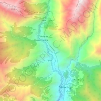
Name: Dana topographic map, elevation, terrain.
Location: Dana, Myagdi, Dhaulagiri, Western Development Region, Nepal (28.50165 83.57362 28.59063 83.66052)
Average elevation: 2,446 m
Minimum elevation: 1,248 m
Maximum elevation: 4,181 m