
Bridgeton Township topographic map
Interactive map
Click on the map to display elevation.
About this map
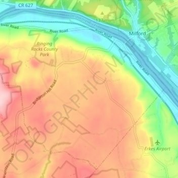
Name: Bridgeton Township topographic map, elevation, terrain.
Average elevation: 131 m
Minimum elevation: 33 m
Maximum elevation: 230 m
Other topographic maps
Click on a map to view its topography, its elevation and its terrain.
Upper Black Eddy
United States of America > Pennsylvania > Bridgeton Township > Upper Black Eddy
Average elevation: 100 m