
Villaputzu topographic map
Interactive map
Click on the map to display elevation.
About this map
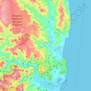
Name: Villaputzu topographic map, elevation, terrain.
Location: Villaputzu, Sud Sardegna, Sardegna, 09040, Italia (39.41296 9.41675 39.64172 9.65979)
Average elevation: 194 m
Minimum elevation: -3 m
Maximum elevation: 759 m