
Shrewsbury topographic map
Interactive map
Click on the map to display elevation.
About this map
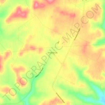
Name: Shrewsbury topographic map, elevation, terrain.
Location: Shrewsbury, Grayson County, Kentucky, United States (37.35894 -86.40470 37.39894 -86.36470)
Average elevation: 208 m
Minimum elevation: 150 m
Maximum elevation: 247 m