
Gulfton topographic map
Interactive map
Click on the map to display elevation.
About this map
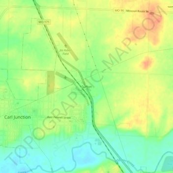
Name: Gulfton topographic map, elevation, terrain.
Location: Gulfton, Jasper County, Missouri, 64834, United States (37.16367 -94.56495 37.20367 -94.52495)
Average elevation: 278 m
Minimum elevation: 257 m
Maximum elevation: 297 m