
Naast topographic map
Interactive map
Click on the map to display elevation.
About this map
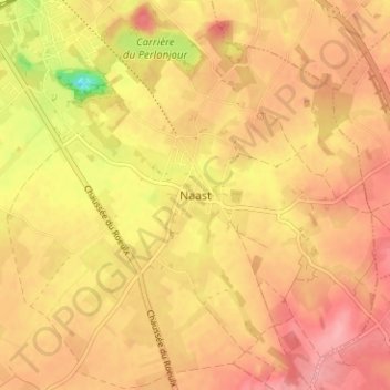
Name: Naast topographic map, elevation, terrain.
Location: Naast, Soignies, Hainaut, Wallonie, 7062, Belgique (50.53369 4.08117 50.57369 4.12117)
Average elevation: 104 m
Minimum elevation: 41 m
Maximum elevation: 134 m