
Abt. 2d topographic map
Interactive map
Click on the map to display elevation.
About this map
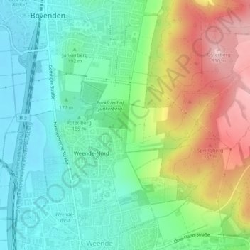
Name: Abt. 2d topographic map, elevation, terrain.
Average elevation: 211 m
Minimum elevation: 134 m
Maximum elevation: 355 m
Other topographic maps
Click on a map to view its topography, its elevation and its terrain.
Stollen
Germany > Lower Saxony > Göttingen
Stollen, Göttingen, Landkreis Göttingen, Lower Saxony, 37077, Germany
Average elevation: 261 m