
Edinburgh topographic map
Interactive map
Click on the map to display elevation.
About this map
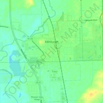
Name: Edinburgh topographic map, elevation, terrain.
Location: Edinburgh, Johnson County, Indiana, United States (39.33186 -85.98649 39.36929 -85.94282)
Average elevation: 205 m
Minimum elevation: 194 m
Maximum elevation: 220 m