
Yoder topographic map
Interactive map
Click on the map to display elevation.
About this map
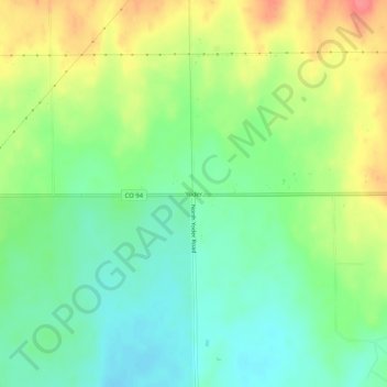
Name: Yoder topographic map, elevation, terrain.
Location: Yoder, El Paso County, Colorado, United States (38.81944 -104.24191 38.85944 -104.20191)
Average elevation: 1,883 m
Minimum elevation: 1,855 m
Maximum elevation: 1,925 m