
Aghghala topographic map
Interactive map
Click on the map to display elevation.
About this map
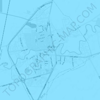
Name: Aghghala topographic map, elevation, terrain.
Average elevation: -13 m
Minimum elevation: -16 m
Maximum elevation: -11 m
Other topographic maps
Click on a map to view its topography, its elevation and its terrain.
دهستان مزرعه شمالی
Iran > Golestan Province > Aqqala County
دهستان مزرعه شمالی, بخش وشمگیر, Aqqala County, Golestan Province, Iran
Average elevation: -6 m
Fort, Great Wall of Gorgan
Iran > Golestan Province > Aqqala County > دهستان مزرعه شمالی > گوگ تپه ۱
Fort, Great Wall of Gorgan, گنبدکاووس - انبارآلوم - آق قلا, گوگ تپه ۱, دهستان مزرعه شمالی, بخش وشمگیر, Aqqala County, Golestan Province, Iran
Average elevation: 3 m