
Syracuse topographic map
Interactive map
Click on the map to display elevation.
About this map
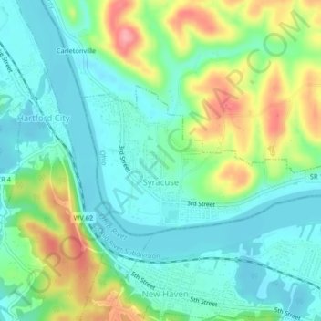
Name: Syracuse topographic map, elevation, terrain.
Location: Syracuse, Meigs County, Ohio, 45779, USA (38.99227 -81.98413 39.00718 -81.94315)
Average elevation: 200 m
Minimum elevation: 167 m
Maximum elevation: 273 m