
Mount Vernon topographic map
Interactive map
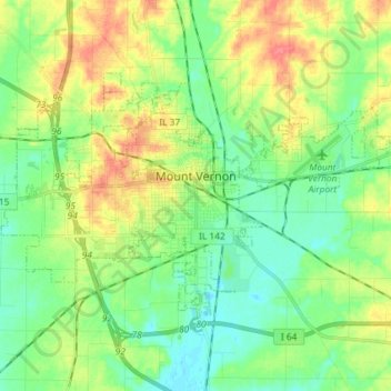
Click on the map to display elevation.
About this map
Name: Mount Vernon topographic map, elevation, terrain.
Average elevation: 147 m
Minimum elevation: 127 m
Maximum elevation: 179 m
Other topographic maps
Click on a map to view its topography, its elevation and its terrain.
Roaches
United States > Illinois > Jefferson County
Roaches, Jefferson County, Illinois, 62898, United States
Average elevation: 149 m