
Thanh Hóa topographic map
Interactive map
Click on the map to display elevation.
About this map
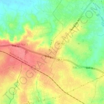
Name: Thanh Hóa topographic map, elevation, terrain.
Location: Thanh Hóa, Trảng Bom District, Dong Nai province, Vietnam (10.94322 106.92691 10.98322 106.96691)
Average elevation: 52 m
Minimum elevation: 13 m
Maximum elevation: 85 m