
Knock topographic map
Interactive map
Click on the map to display elevation.
About this map
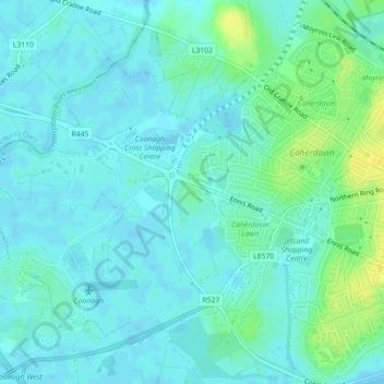
Name: Knock topographic map, elevation, terrain.
Average elevation: 5 m
Minimum elevation: -1 m
Maximum elevation: 19 m
Other topographic maps
Click on a map to view its topography, its elevation and its terrain.
Roxborough
Ireland > The Metropolitan District of Limerick City
Roxborough, The Metropolitan District of Limerick City, County Limerick, Munster, Ireland
Average elevation: 30 m