
Khibiny Mountains topographic map
Interactive map
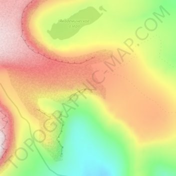
Click on the map to display elevation.
Khibiny Mountains
The Khibiny Massif is of oval shape of about 1,300 km2. and occupies the central part of the peninsula at a relative elevation of 900–1000 m above the surrounding plain. The mountains are not particularly high; the two highest peaks are the Yudychvumchorr, which stands 1,201 metres (3,940 ft), and the Chasnachorr, which stands 1,191 metres (3,907 ft). The average elevation is 1,116 metres (3,661 ft). The mountains form the shape of a horseshoe topped by a high plateau, drained by a series of deep canyons. The peaks are of plateau type, with steep slopes, with glaciers, icefields and snowfields in some places. The overall terrain is alpine tundra.
About this map
Name: Khibiny Mountains topographic map, elevation, terrain.
Average elevation: 806 m
Minimum elevation: 502 m
Maximum elevation: 1,105 m