
Llangwstenin topographic map
Interactive map
Click on the map to display elevation.
About this map
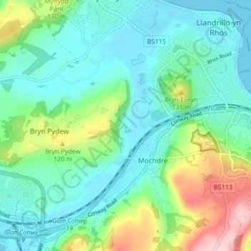
Name: Llangwstenin topographic map, elevation, terrain.
Location: Llangwstenin, Conwy, Wales, LL31 9JQ, United Kingdom (53.27729 -3.78875 53.31729 -3.74875)
Average elevation: 54 m
Minimum elevation: -1 m
Maximum elevation: 211 m