
Ellwangen topographic map
Interactive map
Click on the map to display elevation.
About this map
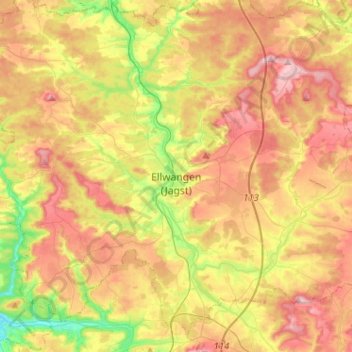
Name: Ellwangen topographic map, elevation, terrain.
Average elevation: 483 m
Minimum elevation: 371 m
Maximum elevation: 590 m
Other topographic maps
Click on a map to view its topography, its elevation and its terrain.
Kapfenburg
Germany > Baden-Württemberg > Ostalbkreis > Lauchheim > Domäne Kapfenburg
Average elevation: 559 m