
Oberlauter topographic map
Interactive map
Click on the map to display elevation.
About this map
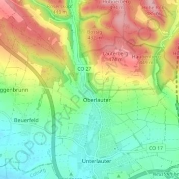
Name: Oberlauter topographic map, elevation, terrain.
Location: Oberlauter, Coburg, Upper Franconia, Bavaria, 96486, Germany (50.29432 10.95557 50.33432 10.99557)
Average elevation: 377 m
Minimum elevation: 303 m
Maximum elevation: 492 m