
Chalford Hill topographic map
Interactive map
Click on the map to display elevation.
About this map
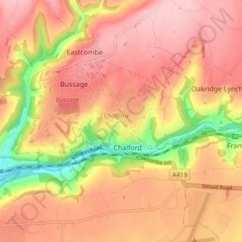
Name: Chalford Hill topographic map, elevation, terrain.
Average elevation: 175 m
Minimum elevation: 61 m
Maximum elevation: 239 m
Other topographic maps
Click on a map to view its topography, its elevation and its terrain.
France Lynch
United Kingdom > England > Gloucestershire > Stroud > Chalford
France Lynch, Chalford, Stroud, Gloucestershire, England, GL6 8LU, United Kingdom
Average elevation: 180 m