
Berkley topographic map
Interactive map
Click on the map to display elevation.
About this map
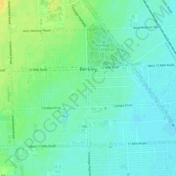
Name: Berkley topographic map, elevation, terrain.
Location: Berkley, Oakland County, Michigan, United States (42.48836 -83.20342 42.51063 -83.15863)
Average elevation: 210 m
Minimum elevation: 202 m
Maximum elevation: 226 m