
Talke Pits topographic map
Interactive map
Click on the map to display elevation.
About this map
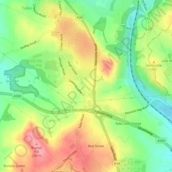
Name: Talke Pits topographic map, elevation, terrain.
Average elevation: 179 m
Minimum elevation: 131 m
Maximum elevation: 232 m
Other topographic maps
Click on a map to view its topography, its elevation and its terrain.
Dunkirk
United Kingdom > England > Staffordshire > Newcastle-under-Lyme > Talke > Dunkirk
Dunkirk, Audley Rural, Talke, Newcastle-under-Lyme, Staffordshire, West Midlands, England, ST7 8LZ, United Kingdom
Average elevation: 149 m