
Boerne topographic map
Interactive map
Click on the map to display elevation.
About this map
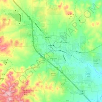
Name: Boerne topographic map, elevation, terrain.
Location: Boerne, Kendall County, Texas, United States (29.74552 -98.80201 29.83211 -98.68245)
Average elevation: 465 m
Minimum elevation: 398 m
Maximum elevation: 576 m
Other topographic maps
Click on a map to view its topography, its elevation and its terrain.
Comfort
United States > Texas > Kendall County
Comfort, Kendall County, Texas, 70813, United States
Average elevation: 457 m