
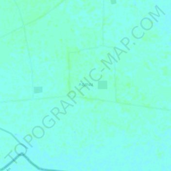
Kandal topographic map
Interactive map
Click on the map to display elevation.
About this map
Name: Kandal topographic map, elevation, terrain.
Location: Kandal, Svay Rieng, Cambodia (10.97867 106.14915 11.01867 106.18915)
Average elevation: 5 m
Minimum elevation: 2 m
Maximum elevation: 7 m