
Iwakuni topographic map
Interactive map
Click on the map to display elevation.
About this map
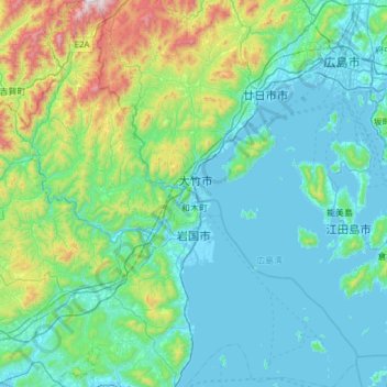
Name: Iwakuni topographic map, elevation, terrain.
Location: Iwakuni, Préfecture de Yamaguchi, Japon (33.96580 131.87843 34.46949 132.47198)
Average elevation: 214 m
Minimum elevation: -4 m
Maximum elevation: 1,313 m