
Shazand topographic map
Interactive map
Click on the map to display elevation.
About this map
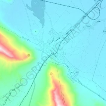
Name: Shazand topographic map, elevation, terrain.
Location: Shazand, بخش مرکزی, Shazand County, Markazi Province, Iran (33.88932 49.36700 33.96932 49.44700)
Average elevation: 1,997 m
Minimum elevation: 1,865 m
Maximum elevation: 2,799 m